|
Friday –
September 21
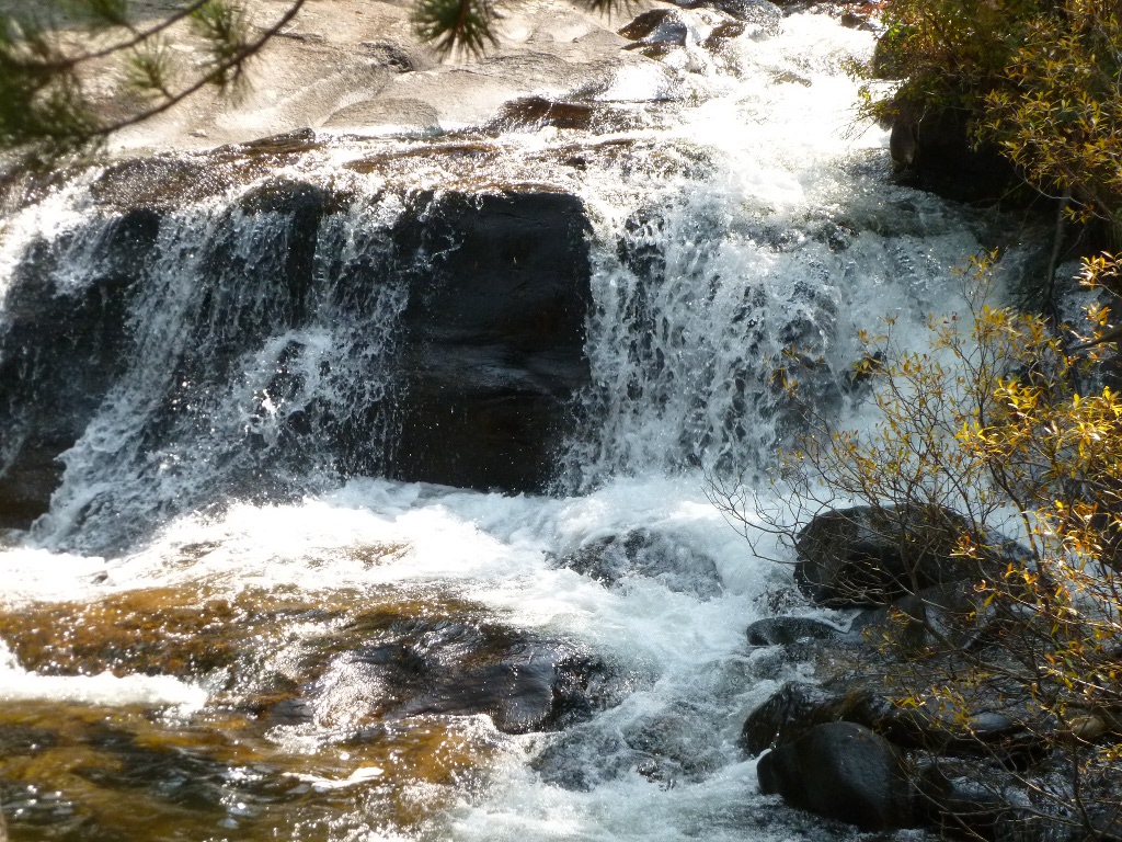
Below is, left to right, lower Copeland Falls; the first good Stellars Jay picture we've gotten (taken by John) and a view looking down over the upper portion of Copeland Falls. There is a very faint rainbow at the right just past the foam (it shows up somewhat better in the enlargement).
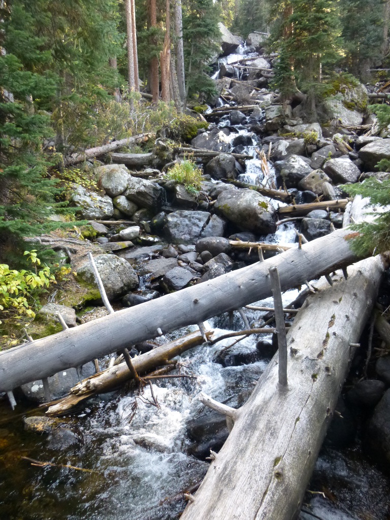
We followed North St. Vrain Creek up (it did get steeper after this point) to the Calypso Cascades where it meets Cony Creek. We crossed a few wooden bridges that provided nice photo opportunities! So below you see the creek at a photogenic point and then the Calypso Cascades. It's hard to see the steepness of the cascades in the picture - it isn't a long "fall" but it is cascading down for about 200 feet. At the right is a picture of us standing on a bridge over North St. Vrain Creek. Below that, on the right is a picture someone took for us standing on the bridge at the foot of the Cascades.
 We
started this morning
by driving down to Allenspark (a small town about 15 miles or so south
of Estes Park) for their "Golden Glow Festival."
We saw some posters for it and the musicians sounded
interesting. It had potential but it’s just too small a
venue. There were
only about 8 vendors
and about 25 chairs set up for the audience for musicians - what you
see at the left is pretty much the entirety of the festival. We
visited the "Western Trail" gift shop, all
the booths, bought a packet of blended herbal tea, listened to about 20
minutes of mediocre music then got lunch to go from the very nice Tapestry of Life Coffee Shop
across the street from the festival site and headed back north to Lily
Lake. We
started this morning
by driving down to Allenspark (a small town about 15 miles or so south
of Estes Park) for their "Golden Glow Festival."
We saw some posters for it and the musicians sounded
interesting. It had potential but it’s just too small a
venue. There were
only about 8 vendors
and about 25 chairs set up for the audience for musicians - what you
see at the left is pretty much the entirety of the festival. We
visited the "Western Trail" gift shop, all
the booths, bought a packet of blended herbal tea, listened to about 20
minutes of mediocre music then got lunch to go from the very nice Tapestry of Life Coffee Shop
across the street from the festival site and headed back north to Lily
Lake.
It's such a beautiful setting
that there were actually 2 weddings held there
while we were hiking! Coming back into Estes Park, we stopped at the visitor center and got directions to get to the Lumpy Ridge Trailhead for tomorrow's hike. (The "normal" way to get there is closed due to road construction, but apparently there is another route.) They are having some sort of beer and brats festival tonight and every lot in town is overflowing. The lines of cars at the traffic lights are enormous and don’t even think about making a left turn onto a main road. Fortunately, we were coming into town on the east end and could get back to our motel pretty easily with a right hand turn. We made a Safeway stop to pick up items we'll want for the next 3 days of camping and there weren't even many empty parking spots in the grocery store lot! Unbelievable. And this isn't even "high season." When we went back into town
later, we used the Hwy 34 Bypass, came in on the west edge of
town and parked in the lot near the Cultural Arts Council (outside of
the major activity area) and just walked back to Bob and Tony's where
we had great pizza.
Sunday September 23 – We were
up and clean and checked out around 9:30 AM.
The round about way to get to the Lumpy Ridge Trail
Head worked
fine – we went out Dry Gulch to Devil’s Gulch and backtracked to the
Trailhead. AFTER
the hike we also found out that the
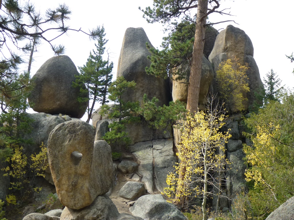
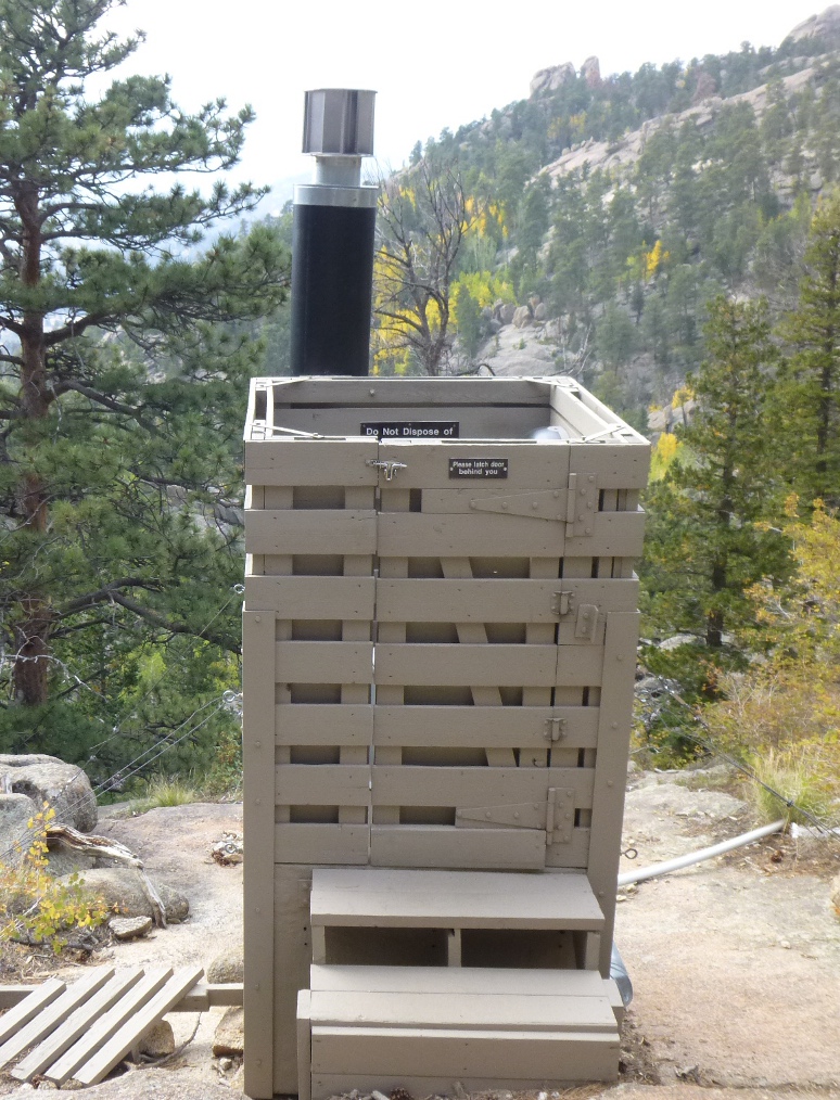
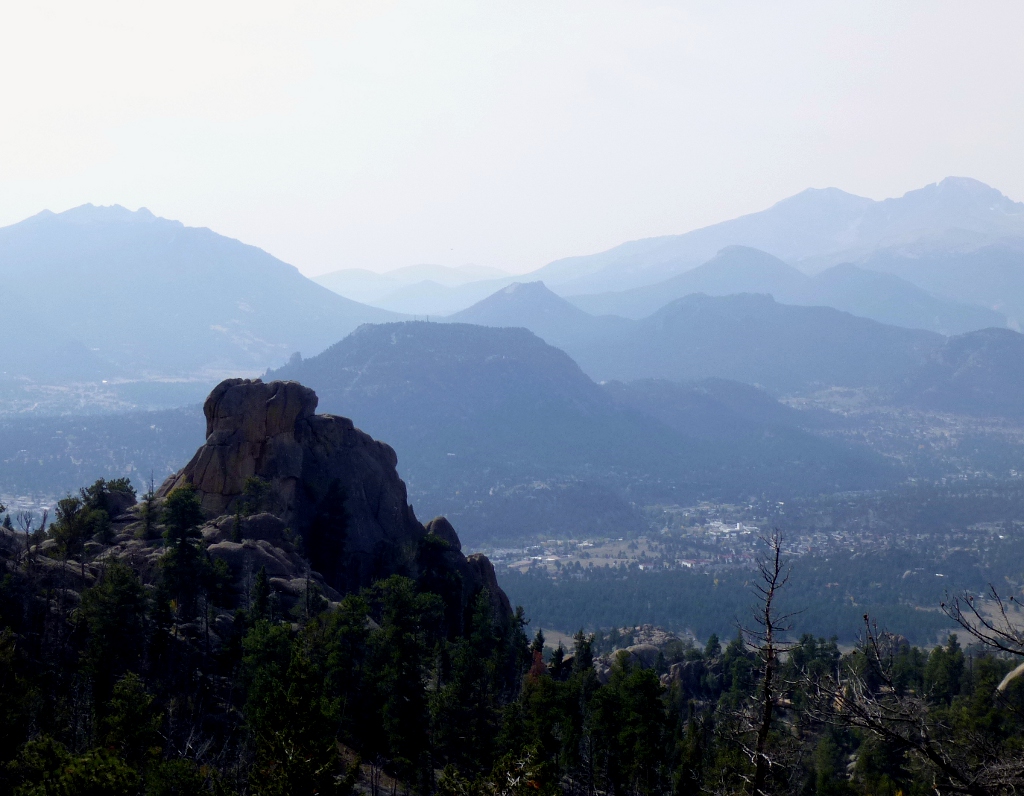
The pictures below include one of John's collection of "natural Bonsai" pictures; a privy provided along the trail near the Lake (a little more upscale than the one along the Lulu City trail!) and a view of what I'm calling "spires" though I have no idea if they have an official name or not!
We had lunch on the "beach" portion of the lakeside and were entertained by chipmunks. Some were pretty aggressive, trying to climb into laps or backpacks. John got his finger nipped by one when he didn't produce a snack. Below left to right are: Gem Lake, us posing at Gem Lake (across the lake on the left in the first picture) and a view of Estes Park and mountains beyond taken from near the top of the trail.
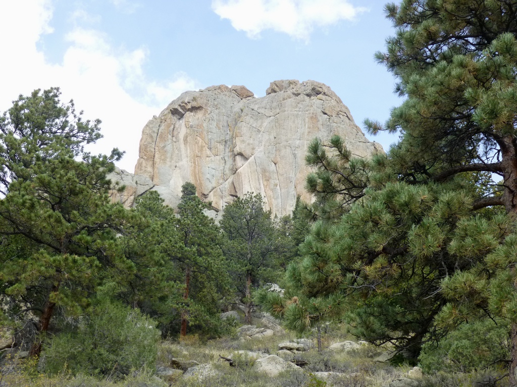 So
we
decided to go on and do the loop around the base of
the Twin Owls (the rock formation at left).
That
was *mostly*
downhill though there were some climbs towards the end.
We got back to the trailhead (1.7 miles going
up, 2.3 miles coming back) at 1:50.
We
had guessed 4 hours plus additional time for lunch so were very pleased
with ourselves. So
we
decided to go on and do the loop around the base of
the Twin Owls (the rock formation at left).
That
was *mostly*
downhill though there were some climbs towards the end.
We got back to the trailhead (1.7 miles going
up, 2.3 miles coming back) at 1:50.
We
had guessed 4 hours plus additional time for lunch so were very pleased
with ourselves. 
We were hot and tired, however, so we stopped at an ice cream store in Estes Park (in the 300 block of East Elkhorn, across from US Bank - I can't find its name) and that tasted really good! Then we drove out Hwy 36 through the Beaver Meadows entrance to RMNP and down to Moraine Campground. This campground is much larger and comes with lots more bureaucracy. Everything was entered in the computer and we were assigned a campsite (at Timber Creek, you just pick your own place then self-register – rangers and site hosts are around but it was more loosely run). The camp rules are essentially the same as at Timber Creek but I have the impression – maybe the larger size, or the density of visitors – that they have more problems here and so are more adamant about enforcement. We had
the tent set up by 4 PM and had a rest break before supper – I copied
all my pictures from today to the computer and updated the
log; John read for a while and then fixed a yummy brat stew
for supper. The
GOOD news is that the predicted low here is
46 tonight! Wow –
that’s not even
freezing. And
tomorrow we'll do the Fern Lake Trail which is very close to the
campground. Monday September 24 – Wow, last night really was only in the 40’s – my heavy sweats were too warm! Yay! Slept well overnight – still went to bed early because there was nothing to do in the dark!   This morning I fixed pancakes for
breakfast (so nice to not have to wear
gloves because of the cold!) and cleaned up from last night - we had
put everything away but not actually washed the dishes.
We left
about 10 AM for the Fern Lake Trailhead. In the context of
the
whole park, it's just "around the corner" from the campground but it is
several miles so we drove.
The route goes through the elk viewing area so we
saw lots of elk on the
way but we didn't stop to gawk or take
pictures since we've already seen plenty of elk. We left
the trailhead about 10:20 and got to The
Pool (1.7 miles but fairly level) at 11:30. This morning I fixed pancakes for
breakfast (so nice to not have to wear
gloves because of the cold!) and cleaned up from last night - we had
put everything away but not actually washed the dishes.
We left
about 10 AM for the Fern Lake Trailhead. In the context of
the
whole park, it's just "around the corner" from the campground but it is
several miles so we drove.
The route goes through the elk viewing area so we
saw lots of elk on the
way but we didn't stop to gawk or take
pictures since we've already seen plenty of elk. We left
the trailhead about 10:20 and got to The
Pool (1.7 miles but fairly level) at 11:30.
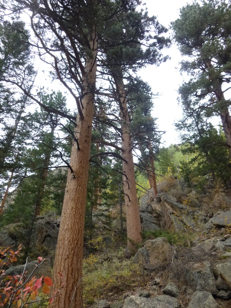  The
trail follows the Big Thompson River most of the way and it was just
beautiful. A sample of the color and the tall Ponderosa Pines
are
on the left. It also weaves through an area known as Arch
Rocks -
see the pictures on the right. Evidently these came down from
the
mountains in an earlier epoch and now they stand almost as sculptures. The
trail follows the Big Thompson River most of the way and it was just
beautiful. A sample of the color and the tall Ponderosa Pines
are
on the left. It also weaves through an area known as Arch
Rocks -
see the pictures on the right. Evidently these came down from
the
mountains in an earlier epoch and now they stand almost as sculptures.
A bridge goes over the river at The Pool: an area just below the point where Sprague Creek and Fern Creek join the river so it is a little livelier and includes several small cascades. We each found a good sitting-on rock and enjoyed the water for about 15 minutes, had a small snack, then set off for Fern Falls. Pictures below show Barb on her rock at The Pool and some of the pictures I was taking from the rock - the bridge over the river and a closer look at some of the cascades below the bridge. 

  The
trail to Fern Falls (falls picture at left) is only another
mile but quite steep. We got
there at 12:35 so it took us less than an hour – remembering my general
guideline of 1 mile per hour in the mountains, I was happy with that. The
trail to Fern Falls (falls picture at left) is only another
mile but quite steep. We got
there at 12:35 so it took us less than an hour – remembering my general
guideline of 1 mile per hour in the mountains, I was happy with that. 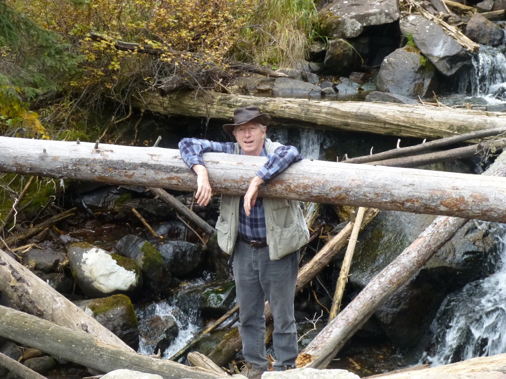 We saw a gray headed junco along the
way – we didn't get good pictures of it but enough to
identify it. We
had lunch at the falls, John played with crossing
the falls on logs (at the right) and we enjoyed the entertaining
chipmunks and ground squirrels. I didn't include stellars jay
pictures since we've seen those already, but this little golden mantled
ground squirrel on the left below charmed us with his determination to
find lunch! We had to read about the differences
between the
chipmunks and the ground squirrels - the easiest way to tell them apart
is the stripes. Notice this fellow doesn't have stripes all
across his back or on his head: compare to the chipmunk below him!
The picture in the lower right is We saw a gray headed junco along the
way – we didn't get good pictures of it but enough to
identify it. We
had lunch at the falls, John played with crossing
the falls on logs (at the right) and we enjoyed the entertaining
chipmunks and ground squirrels. I didn't include stellars jay
pictures since we've seen those already, but this little golden mantled
ground squirrel on the left below charmed us with his determination to
find lunch! We had to read about the differences
between the
chipmunks and the ground squirrels - the easiest way to tell them apart
is the stripes. Notice this fellow doesn't have stripes all
across his back or on his head: compare to the chipmunk below him!
The picture in the lower right is  John
sitting at the Big Thompson River near the trailhead, probably trying
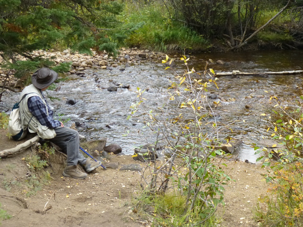
to figure out a way to bring the whole thing back to Iowa! John
sitting at the Big Thompson River near the trailhead, probably trying
to figure out a way to bring the whole thing back to Iowa! 
Click here
to go on to Part 3 of our trip.
|